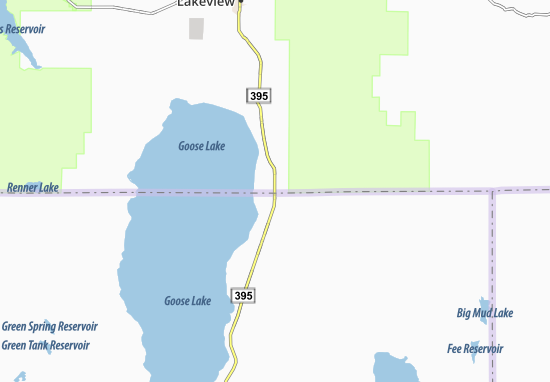
The dotted and dashed line represents the border. The southern half of the map is in California, the northern half, Oregon. This all happened due to a surveying issue back in 1868, forcing residents to carry a dual driver's license, with both Oregon and California printed on them.
Sunday, September 20, 2020
Wacky Border Sunday: New Pine Creek
Hello everybody and welcome back to another edition of Global History Hub! I'll be your host, Mr. Nations, your tour guide to this massive world we all call home! On today's installment, we'll be taking a look at the small town of New Pine Creek, a town situated in both Oregon and California. Well, what are we waiting for? Let's dive straight into it!
Subscribe to:
Post Comments (Atom)
No comments:
Post a Comment
Please be respectful. Think to yourself, "Would I say this to a child?"